

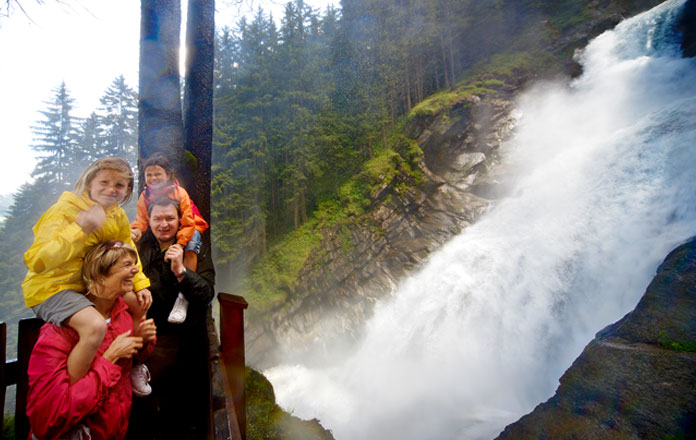
Atemberaubend –
Europas größte Wasserfälle.
die unbändige Kraft des Elementes wasser hautnah
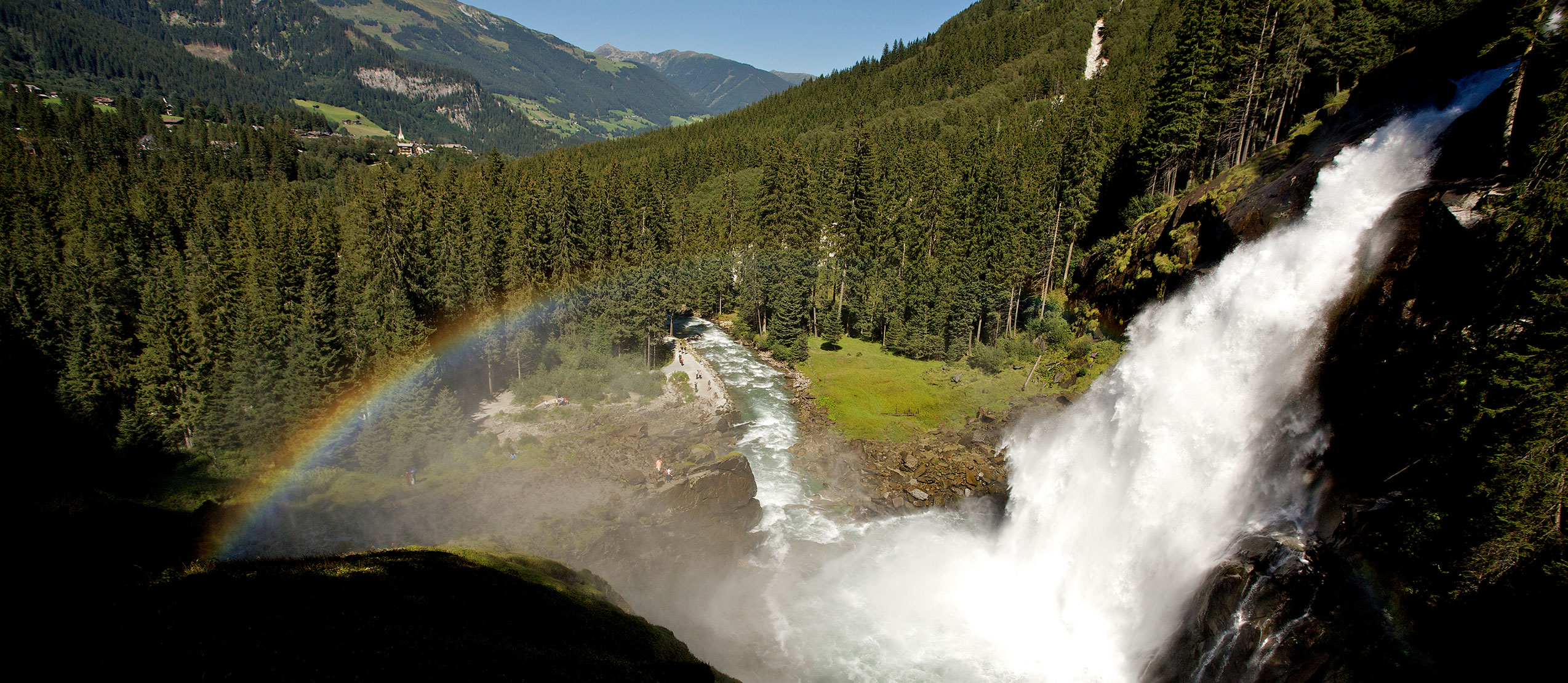
erleben: Mit einer Fallhöhe von 380 Metern zählen die
Krimmler Wasserfälle zu den eindrucksvollsten
Naturschauspielen der Welt.
Die Wasserfälle
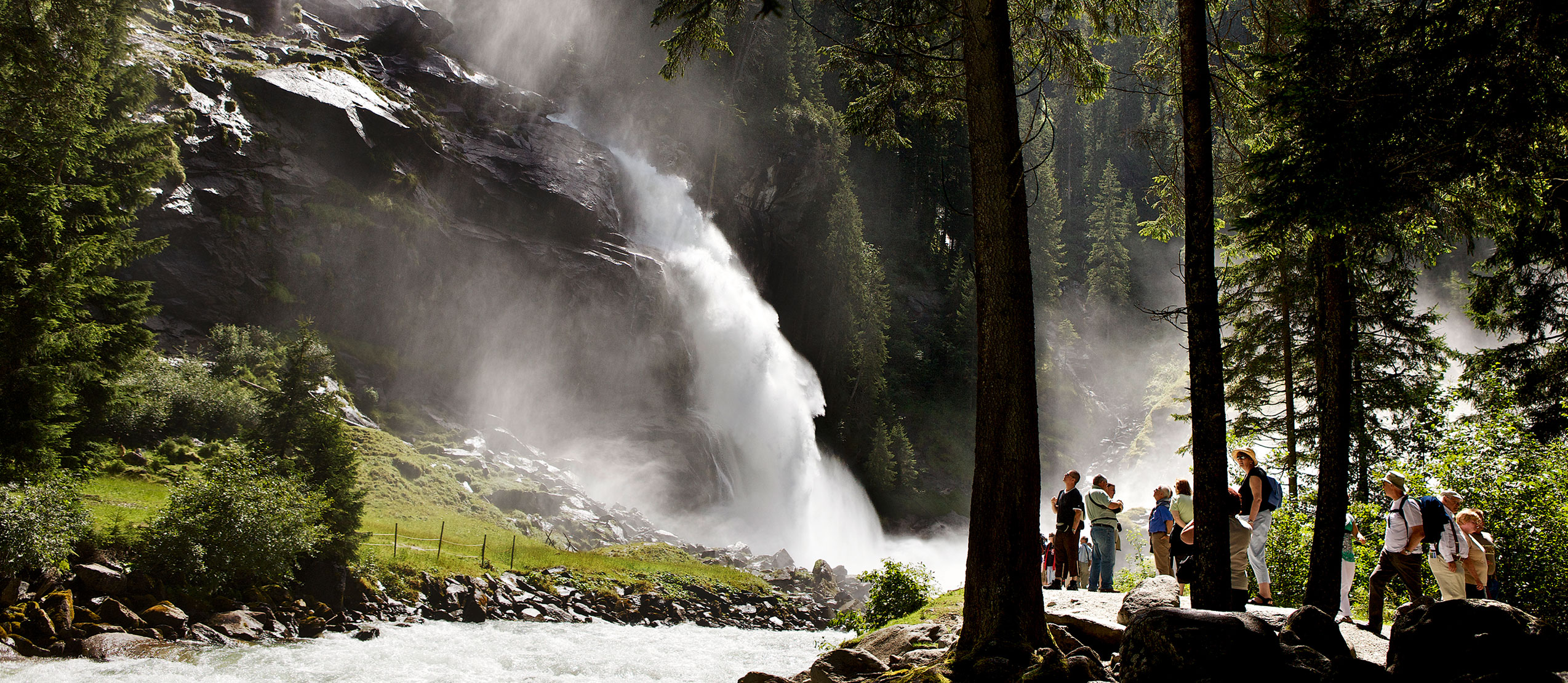
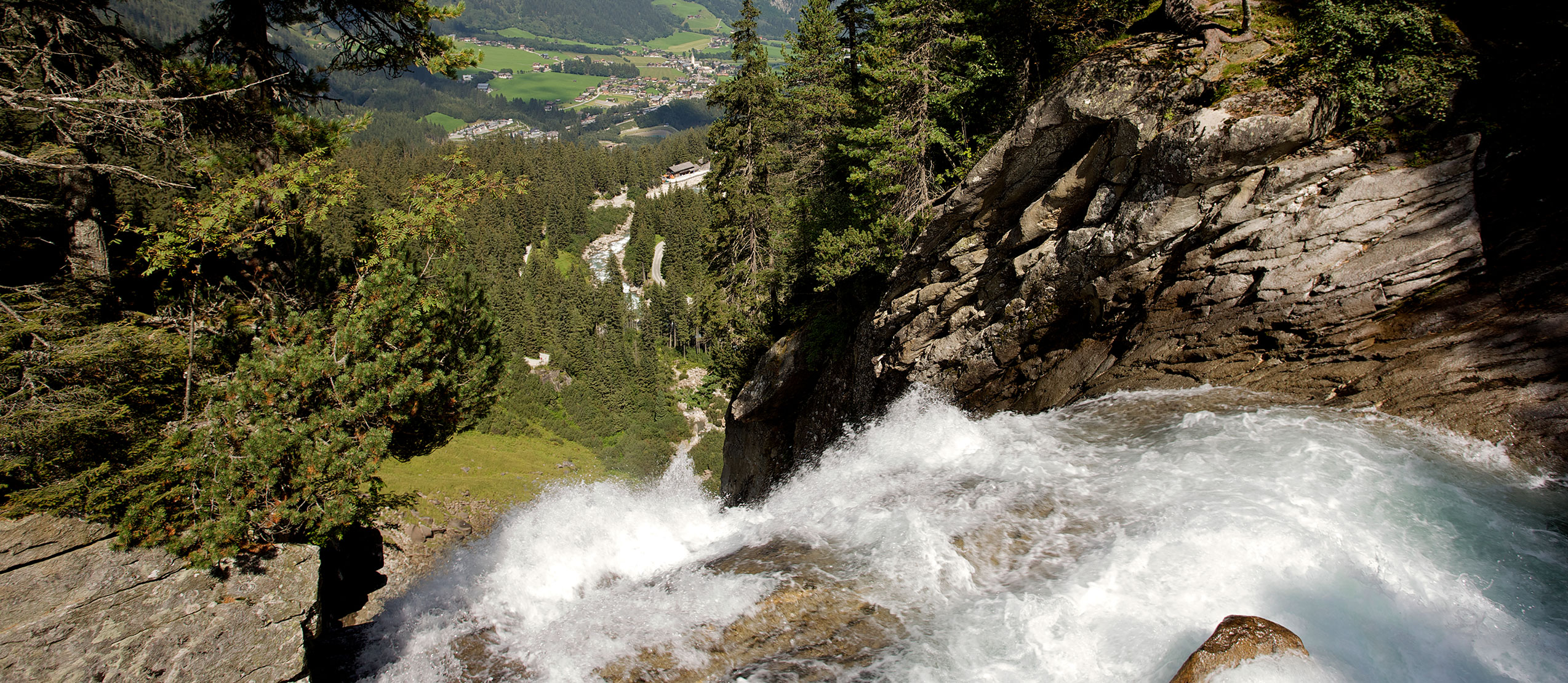
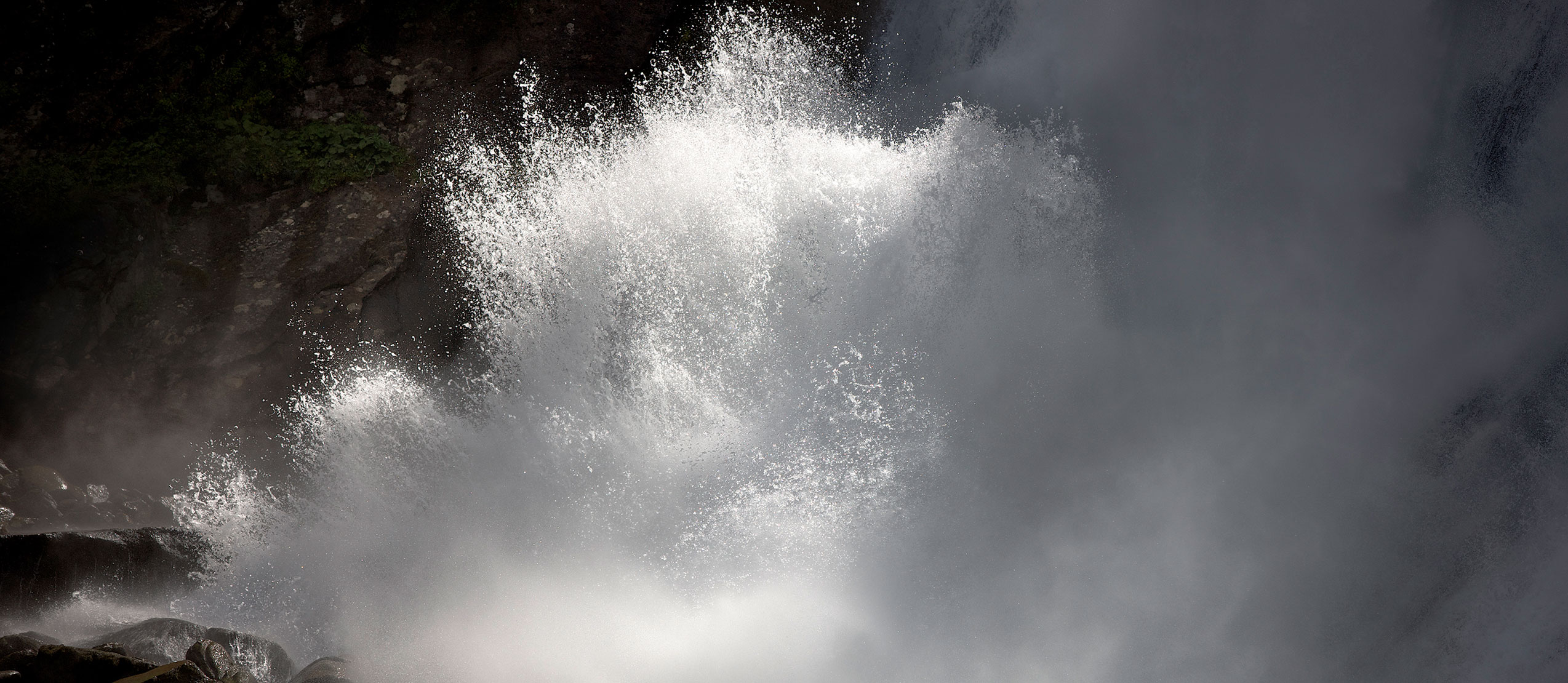
Die besonders eindrucksvolle Lage am Talausgang, die großen Wassermassen und die außergewöhnlichen Fallhöhe von 380 m über drei Stufen machen die Krimmler Wasserfälle zu einem beeindruckenden Naturschauspiel. Sie sind zudem die fünfthöchsten Wasserfälle der Welt.
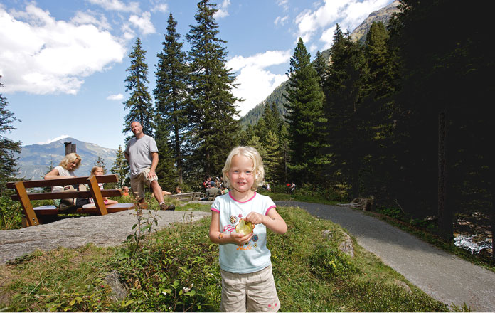
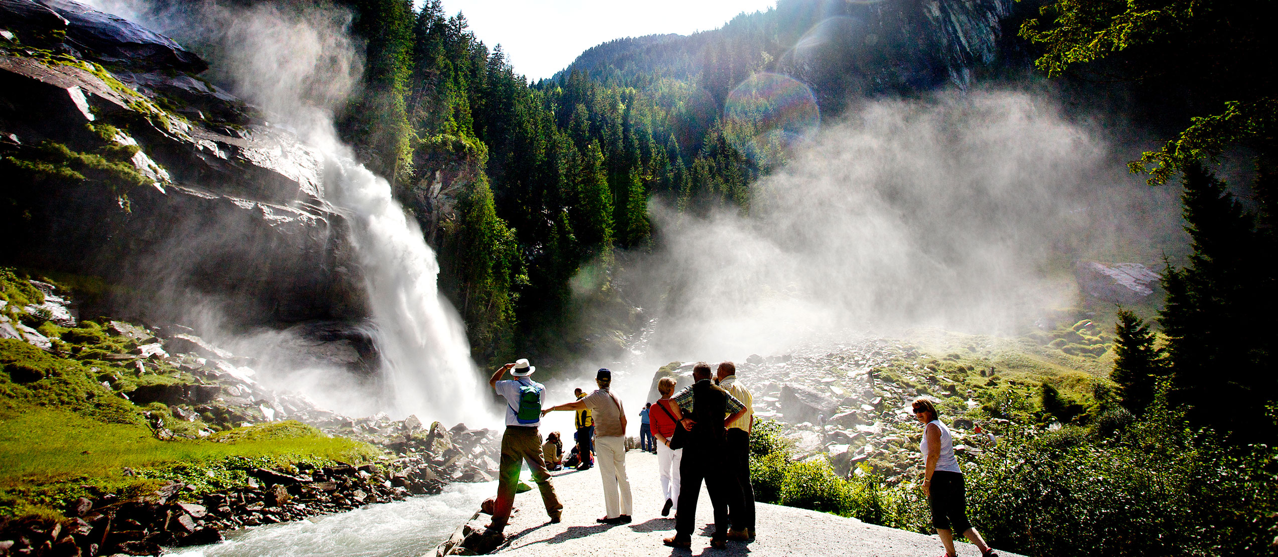
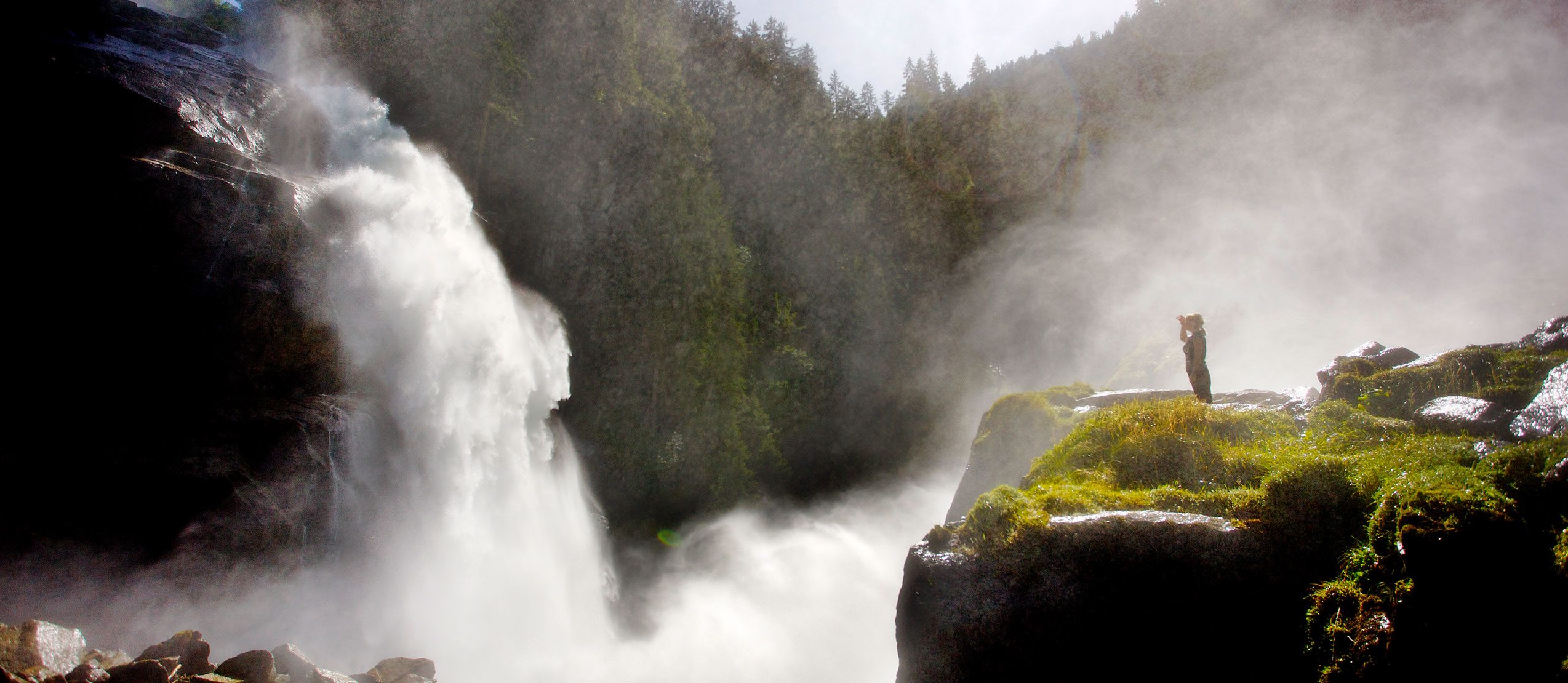
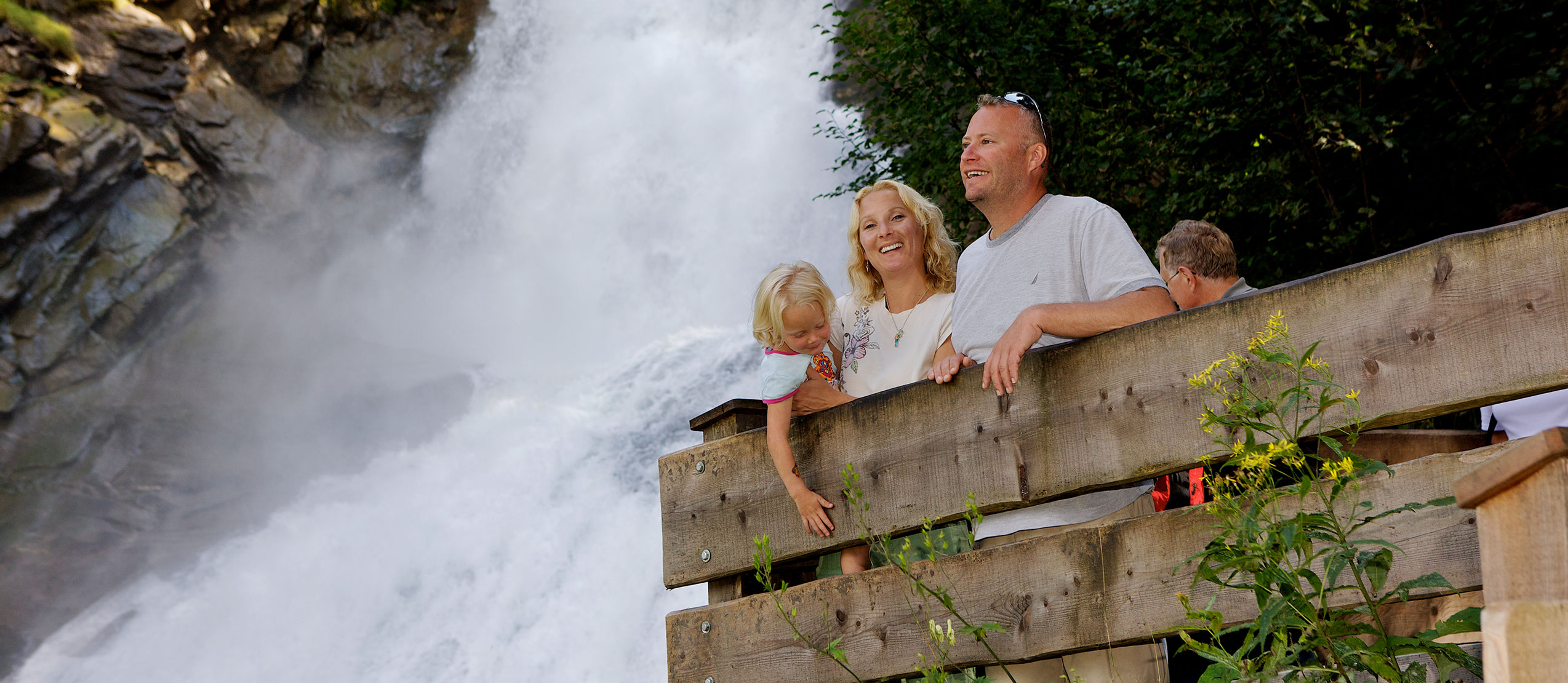
Der Wasserfallweg
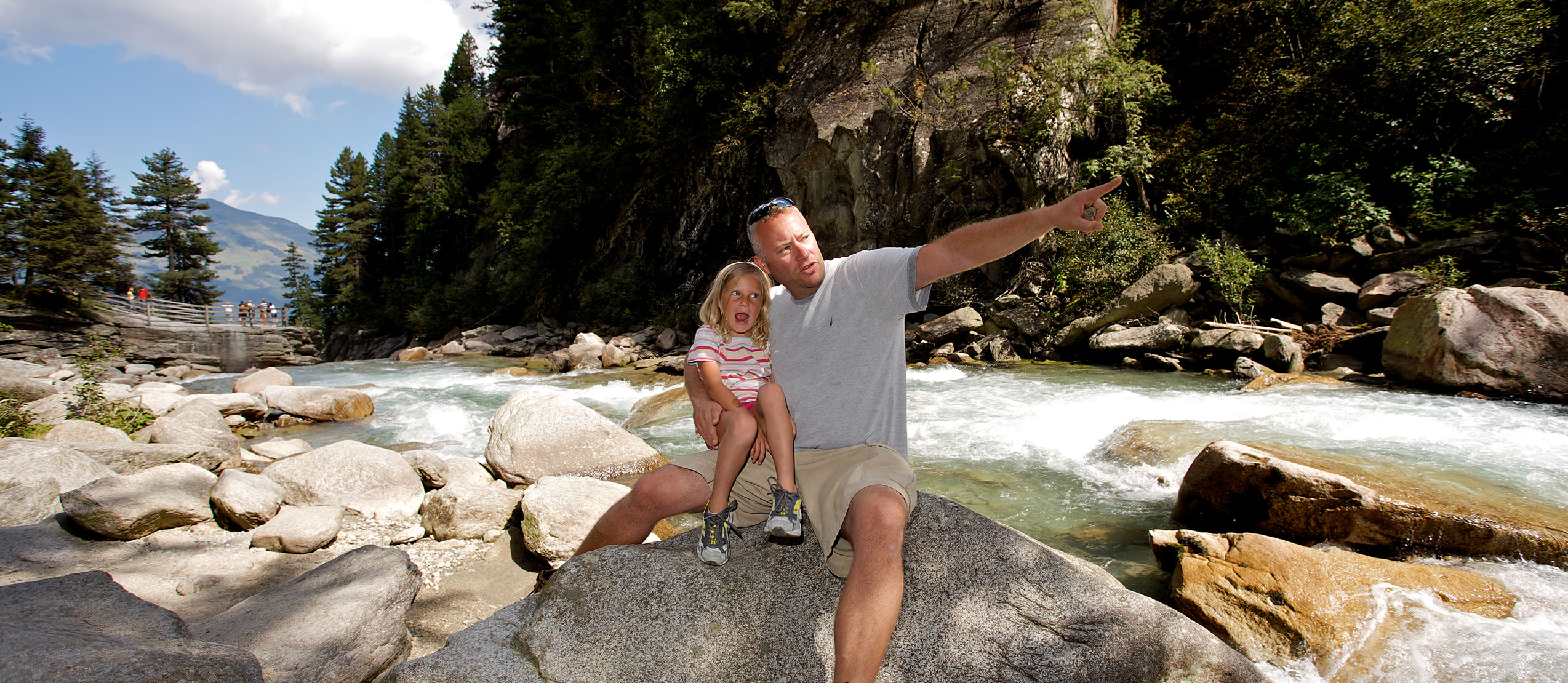
Ein vom Österreichischen Alpenverein (ÖAV) geschaffener, 4 km langer Weg führt mit zahlreichen Aussichtspunkten und Kanzeln hautnah an das Naturschauspiel der Krimmler Wasserfälle heran. In nur 10 – 15 Gehminuten erreicht man vom Parkplatz den untersten Wasserfall.

MyWaterfalls
Werde Teil der Wasserfall-Community und erzähle Deine schönsten Augenblicke.
Lade deine Bilder bei
Instagram hoch und
setz den Hashtag
#krimmlerwasserfälle
